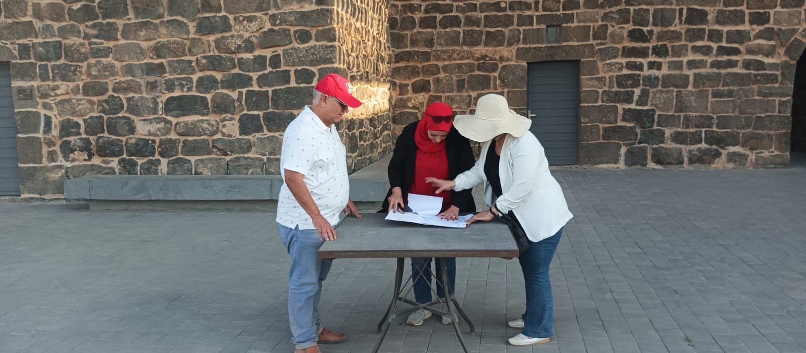
Our documented work: Digital Al-Jazari records and repository photographs show research visits at Umm Al-Jimal and preliminary assessment and measurement at Deir Al-Kahf. They provide a real foundation; constructing and validating a harvesting system remains a future stage requiring studies, resources and approvals.
The human need: begin with communities’ water needs and their knowledge of rainfall, land and plants. Do not select an AI tool first and then search for a problem.
Where AI can contribute: a proposed development pathway can organize non-personal observations, draft accessible explanations and compare scenarios with stated inputs. Researchers check sources, specialists validate calculations and communities define priorities. AI does not decide construction requirements or drinking-water safety.
Try this educational exercise now: draw “rain → runoff → sediment settling → protected storage → careful use → monitoring.” Write a verification question under each stage. This is a learning model, not a construction plan. Do not enter unsafe locations or alter heritage structures.
Worked fictional calculation: a hypothetical 100-square-metre area and 20 millimetres of rain imply 2 cubic metres before losses: 100 × 0.020. Assuming a collection coefficient of 0.6 gives an estimated 1.2 cubic metres. These are exercise values, not site measurements, tank specifications or evidence of water quality.
Suggested practice prompt: “Use only the supplied fictional inputs. Explain units, calculations and possible losses. Separate known values from assumptions. Do not size infrastructure or claim the water is safe.” Check the calculation manually.
Future evaluation after an authorized trial: measured water volumes, operating cost, maintenance burden, safe access and distribution of benefits. Online views do not establish improved water security.