
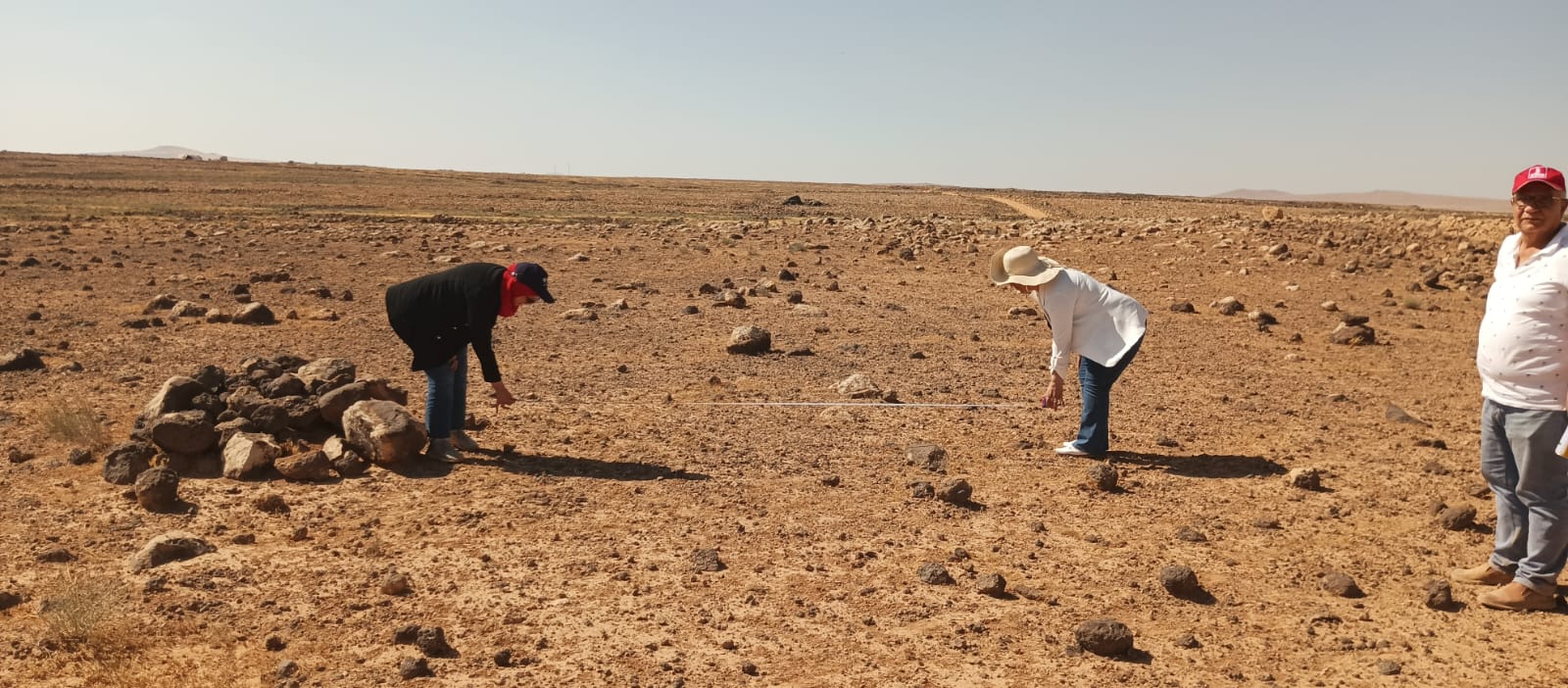
Our documented work: Deir Al-Kahf photographs show preliminary measurement and assessment. The evidence reviewed does not establish restored vegetation or a completed irrigation network.
Proposed development pathway: gather authorized rainfall, soil and terrain information, compare soil-protection and water-use options, and obtain local specialist review of species, feasibility and safety. A model should not select a plant because its image is attractive; ecological suitability must be checked.
Potential AI role: organize monitoring records and summarize differences between repeated photographs while recording date, angle and season. Lighting and resolution can create misleading differences, so people verify observations on site.
Monitoring worksheet: non-personal point code; date; soil description; measurement method; vegetation observation; public water source if relevant; comparison limits; question for a specialist. Do not publish sensitive locations or private-property coordinates.
Practice prompt: “Organize these observations. Do not fill gaps or turn visual descriptions into improvement percentages. Identify what must be measured before concluding.” The result is an aid, not a final impact report.
Future evaluation indicators: survival over a stated season, measured water use, soil condition, native species, maintenance cost and community participation. Establish methods and a baseline before claiming improvement.