Documented international practice and our adaptation
FAO describes SEPAL as supporting land analysis and restoration monitoring through satellite data, with GeoAI capabilities. We adapt the principle of repeated measurement and checkable sources. SEPAL is not presented as a forecast of our site’s water, nor is every module AI. Our starting point is a simple scenario notebook; later imagery analysis needs suitable data, ground checks and a specialist.
Documented context and proposed work
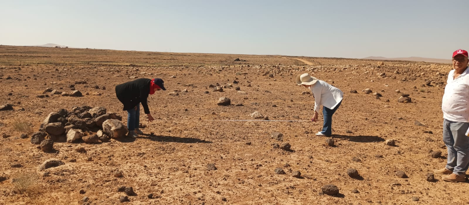
UNESCO describes water catchment in Umm Al-Jimal’s historical context. Our repository records a heritage research direction and a proposed pilot pathway at Deir Al-Kahf. These sources establish context; the following notebook is our design, not UNESCO endorsement or evidence of a completed simulation.
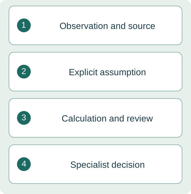
A four-part scenario notebook
- Observation: collection area and measurement source; rainfall source and period.
- Assumption: runoff coefficient and losses as ranges, not certainties.
- Calculation: theoretical volume, followed by checks of units and losses.
- Deferred decision: storage, irrigation and plant species pending specialist review and site data.
Hypothetical calculation
100 square metres × 0.020 metres rainfall × a 0.6 runoff coefficient = 1.2 cubic metres, or 1,200 litres, before other losses. A coefficient of 0.3 gives 600 litres; 0.8 gives 1,600 litres. These are training values, not Deir Al-Kahf measurements or a forecast of available water. A spreadsheet suffices; AI may help explain assumptions and check units under human review.
Vegetation and follow-up
If specialists approve a future field trial, record fixed photo points, rain and irrigation dates and plant survival, with an appropriate comparison designed by specialists. An AI tool does not choose species alone; a green image is not evidence of ecological restoration. This guide authorizes no excavation or alteration at the heritage site.
Value of the trial now
Measure calculation accuracy, clarity of assumptions and review time. Stop if units change, data are invented or construction decisions lack specialist review. Water and vegetation outcomes require a separate field assessment after implementation.
Practice workbook
Read the steps here, or download the workbook for offline use. Your responses are not uploaded to this website.
Last reviewed: 7 October 2026 · Version 1.0
Sources and scope of reuse
- UNESCO World Heritage Centre — Umm Al-Jimāl
- DJAIRI — Reviving Umm Al-Jimal’s Water Wisdom — Project overview
- FAO — SEPAL Overview
Sources accessed 7 October 2026. Publication dates are not stated on the overview pages and are not inferred. Text, examples, templates and diagrams are original DJAIRI work. Links support the specific ideas identified above; they do not imply partnership or endorsement. Third-party images and extended passages are not reproduced.